Map of M25 Junctions 1A to 5: Dartford, Swanley and Sevenoaks
The M25 loop starts at the Dartford Crossing, where the A282 carries it over the Thames. From there it runs south past Dartford and Bluewater, meets the A2 at junction 2 and the M20 at Swanley, then turns west along the foot of the North Downs to Sevenoaks and the M26.
Lorries heading for the Channel ports, holidaymakers bound for Kent, and people who live in Dartford, Swanley and Sevenoaks all use this quarter of the M25. The Dart Charge is paid online, not at a barrier.
The road on the map is coloured by the live traffic flow speed, the same data as our live M25 traffic flow map. Choose clockwise or anticlockwise above the map. Tap any junction number to open that junction’s own page.
Map data © OpenStreetMap contributors. Map drawing © Corporate Ace Limited.
Driving Junction 1A to Junction 5: Distances and Times
From junction 1A to junction 5 is about 12½ miles along the M25, about 11 minutes at the 70 mph speed limit in clear traffic. Here it is junction by junction; tap a junction to open its own page.
- J1A to J1B: about 1 mile, under a minute
- J1B to J2: about 1 mile, under a minute
- J2 to J3: about 3½ miles, about 3 minutes
- J3 to J4: about 3½ miles, about 3 minutes
- J4 to J5: about 4 miles, about 4 minutes
Distances are measured along the motorway between the centres of the junctions, from OpenStreetMap, and rounded to the nearest half mile. Times are at a steady 70 mph and do not allow for joining, leaving, roadworks or lower speed limits, so check the live map above and the live M25 speed flow map before you set off.
M25 Junctions 1A to 5 Now: Accidents, Incidents and Roadworks
Live traffic news at M25 Junctions 1A to 5
Incidents and roadworks between Junction 1 and Junction 5 that we are aware of.
M4 Eastbound Jct 4B to M25 Clockwise Jct 15 Link road closure
22:52 (10:52pm)21 Oct 2026reported 10 min ago
- Location
- link road from M4 J4B to M25 J15 clockwise
- Direction
- Clockwise
- Lanes closed
- Carriageway closed
- Reason
- Repair work
- Schedule
- 22:00 (10pm) Wed 21 Oct 2026 → 05:30 (5:30am) Thu 22 Oct 2026
M25 Anti-clockwise Jct 3 exit slip road 24 Hour lane closure
22:52 (10:52pm)21 Oct 2026reported 10 min ago
- Location
- M25 J3 anti-clockwise exit
- Direction
- Anticlockwise
- Lanes closed
- Slip road closed
- Reason
- Maintenance work
- Schedule
- 22:00 (10pm) Mon 19 Oct 2026 → 05:30 (5:30am) Fri 18 Dec 2026
Forecast - not confirmed
This is the news for Junctions 1A to 5 only, not the whole M25. For the rest of the motorway see all the latest M25 traffic news, the overhead signs and the speed limits in force now.
Updated 23:02 (11:02pm) Wed 21 Oct 2026
The Junctions in Section 1
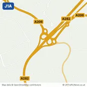
- J1ALittlebrookNearest town: Dartford, 1.1 miles south-west
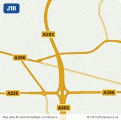
- J1BPrinces RoadNearest town: Dartford, 0.9 miles west
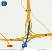
- J2DarenthNearest town: Dartford, 1.3 miles north-west
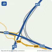
- J3SwanleyNearest town: Swanley, 1.2 miles west
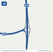
- J4HewittsNearest town: Orpington, 3.1 miles north-west
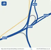
- J5CheveningNearest town: Sevenoaks, 2.5 miles south-east